
Collector and Arrow 100 Successfully Aid Monitoring of Sea Turtle Nesting on Hilton Head Island
Posted by Guest: Amber Kuehn on 12/20/2020 to
Client Success Stories
The Sea Turtle Patrol for Hilton Head Island has adopted the use of the Eos Arrow 100 GNSS paired with an iPad running Esri's Collector app to map and monitor the outcomes of loggerhead sea turtle nesting on the island. This newer mapping workflow has allowed the monitors to successfully relocate nests after storms have removed the nest flagging.

Vermont Gas Systems Doubles Efficiency with Arrow Gold's and iPads
Posted by AGS on 11/20/2020 to
Client Success Stories
Vermont Gas Systems Arrow Gold Adoption Success
"For us, high accuracy GPS and mobile GIS is an essential tool. It will become as prevalent as fire extinguishers and leak soap; another tool in an employee’s toolbox to help them
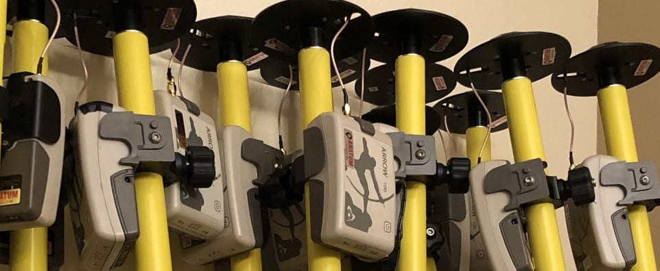
City of Sarasota Employees Take Advantage of Anatum's Rental Pool to Work During Covid-19
Posted by Guest: Sarah Alban on 6/2/2020 to
Client Success Stories
COVID-19: Idled Sarasota employees contribute with fieldwork

National Park Service Tackles High-Accuracy Problems with Arrow Golds
Posted by Guest: Tim Smith on 4/21/2020 to
Client Success Stories
How GNSS Data is Helping a National Park Clear Snow from Unmarked Alpine Roads One of Anatum's Client's Gets Creative!

Missouri Trails Project Finds Mapping Success with Eos Arrow 100
Posted by Guest: Josh Adams on 8/8/2019 to
Client Success Stories
Missouri has thousands of miles of trails for walking, biking, equestrian, and motorized activities. To better map the trail locations, we decided to implement the use of Esri's Collector app paired with the Eos Arrow 100 for its high accuracy. Within the first year, the database has grown from 600 GIS miles to 6,200 miles through a collaboration of various trail managing agencies throughout Missouri.
